Author name: Huzaifa Mukhtiar

The author is an Environmentalist, Entrepreneur and GIS Professional.

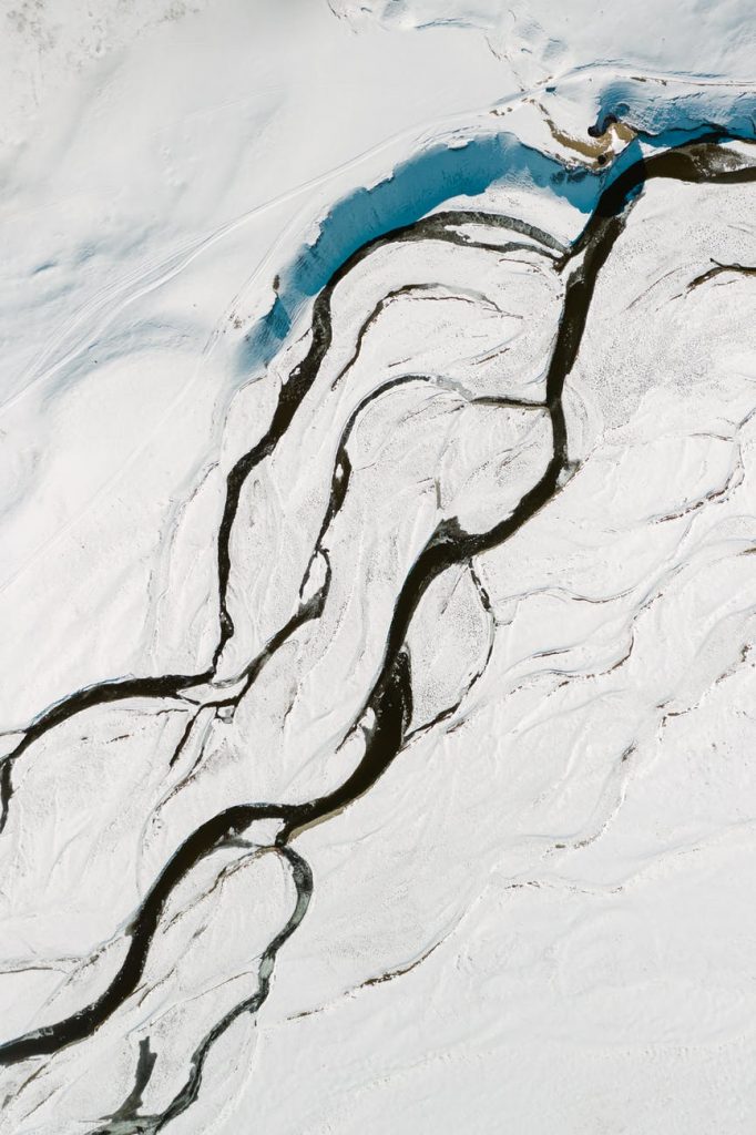
a majestic scenery of a snow covered landscape

GIS Remote Sensing | LST in Arcmap Model Builder

What is Land surface Temperature (LST) Land Surface temperature is the skin temperature of the earth’s surface. LST Calculation requires thermal band imagery from the satellite. Landsat 8 OLI/TIRS imagery is free to download. Its thermal bands are Band-10 and Band-11. Thermal Infrared sensors are used to calculate the temperature of the ground. There are […]

GIS Remote Sensing | LST in Arcmap Model Builder Read More »
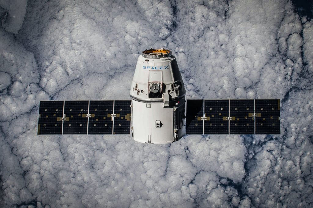
aerial clouds cloudy satellite

ArcGIS Desktop | NDVI Calculation in Model builder

keywords: Spatial data, GIS Analyst, ArcGIS Desktop, GIS Remote SensingHow do you calculate NDVI in ArcGIS? What is NDVI? The Normalized Difference Vegetation Indices (NDVI) is an index that measures the amount of green vegetation on Earth’s surface. NDVI calculation requires two bands (Red and Near-Infrared) of satellite data. This tutorial will show how to

ArcGIS Desktop | NDVI Calculation in Model builder Read More »

Scroll to Top